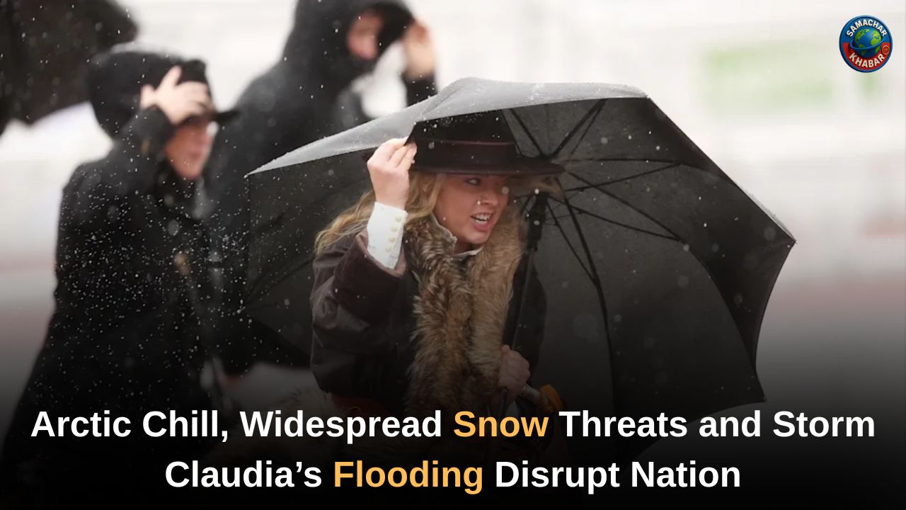
UK Weather Breakdown: The UK is entering a turbulent spell of winter weather as Arctic air drives a sharp, nationwide temperature plunge just days after Storm Claudia caused severe flooding across Wales and England. Communities are still clearing debris and assessing damage after torrential rain burst riverbanks and inundated homes, while forecasters warn that freezing air from the Arctic will bring widespread frost, severe wind chill and a rising threat of snow.
Weather models indicate that snowfall could reach regions from Scotland to the Midlands and even southern England by mid-week. With alerts issued across central and northern England, the nation faces a difficult and disruptive week ahead.
Key Takeaways: UK Arctic Weather Shift, Snow Forecast and Storm Claudia’s Flooding Impact
- Arctic air mass sweeping south will pull temperatures down to –5°C to –7°C, with dangerous wind chill.
- Snow risks spread from Scotland to northern England, Wales, the Midlands and parts of southern England including areas near London, Kent and Norfolk.
- GFS and WXCHARTS models show potential snow cover in London, Manchester, Ipswich, Newcastle, Glasgow, Edinburgh, Dundee and Aberdeen.
- Storm Claudia caused record-breaking river levels, prompting evacuations in Monmouth and flooding 57 properties across England.
- UKHSA yellow cold weather alert active from Monday to Friday across Midlands and northern England.
- Up to 18cm of snow possible on Scottish high ground; as much as 9cm on the Pennines.
Arctic Air Sweeps Across the UK After Days of Flood Devastation
A powerful surge of Arctic air is taking control of the UK weather pattern just as flood-hit communities begin recovery efforts. The shift comes after Storm Claudia delivered heavy rainfall, widespread flooding and a major incident declaration in Monmouth, Wales, where residents were evacuated after the River Monnow burst its banks. According to Natural Resources Wales, river levels exceeded those recorded during both Storm Dennis (2020) and Storm Bert (2023), making this one of the region’s most intense flooding episodes in recent years.
Meteorologists say the storm’s retreat has opened the gateway for a sharp northerly flow driven by high pressure to the northwest—a setup that will dominate the week ahead.
Coldest Night Since March Sparks a Deep Winter Turn
The sudden drop was confirmed over the weekend when Tulloch Bridge in the Scottish Highlands hit –7°C, marking the UK’s coldest night since 20 March. Forecasters expect temperatures to remain low, with some regions struggling to rise above single digits during daytime hours. Southern England, which recorded a mild 18.7°C in Surrey earlier in the week, is now facing a drop of nearly 10°C.
Deputy Chief Meteorologist Dan Holley warned that the country faces “much colder conditions than of late,” including widespread frost, ice risks and a noticeable wind chill that will amplify the freezing temperatures.
Snow Forecast Widens: From Scotland to Southern England
Forecasting models show snow becoming a significant feature from Tuesday onward.
Tuesday Forecast:
- Snow spreads across Scotland, covering cities such as Glasgow, Edinburgh, Dundee and Aberdeen.
- Northern England, particularly areas near Newcastle, begins to see wintry showers.
Late Tuesday Into Wednesday:
- Snow pushes into Northern Ireland, Wales, the Midlands and southeast England.
- WXCHARTS maps indicate snow patches forming near London, Kent and Norfolk.
Wednesday Afternoon:
- Models suggest snow on the ground in London, Ipswich, Manchester, Newcastle and several Scottish cities.
- BBC Weather notes that coastal regions may see the most persistent wintry showers.
Expected Accumulations:
- Up to 18cm on high ground in Scotland.
- Up to 9cm on the Pennines.
- Less than 1cm in major cities—yet enough to affect travel and morning commutes.
Forecasters caution that snowfall patterns could shift, but the overall risk remains high due to the strong Arctic influence.
Storm Claudia’s Aftermath Continues to Challenge Communities
While eyes turn to snow and freezing temperatures, many regions are still recovering from Storm Claudia. In Wales, homes, roads, businesses and energy infrastructure suffered heavy damage.
Also Read: GRAP-3 Enforced in Delhi-NCR as Air Quality Turns ‘Severe’ and Restrictions Tighten
By Sunday morning, England had 41 flood warnings, later reduced to 26 as levels slowly receded. The Environment Agency confirmed that 57 properties had been flooded, with some affected areas including Cumbria.
River levels on the Severn, Trent, Ouse and Don remain elevated, prompting warnings of continued localised flooding into next week.
Emergency services faced immense pressure throughout the event. The Fire Brigades Union highlighted the impact of years of cuts, saying firefighters were dealing with “exceptionally busy workloads” with fewer personnel and appliances than required for crises of this scale.
Cold Weather Alert Issued for Millions
The UK Health Security Agency (UKHSA) has issued a yellow cold weather alert, active from Monday 8am to Friday 8am, covering:
- East Midlands
- West Midlands
- North East
- North West
- Yorkshire and the Humber
The warning highlights increased health risks for older adults, people with medical conditions and vulnerable households struggling to maintain adequate indoor heating.
What the Week Ahead Looks Like
BBC Weather forecasts paint a picture of wintry, cold and mostly dry conditions, with only coastal areas seeing frequent showers. Netweather forecaster Nick Finnis expects daytime temperatures of just 3°C to 6°C, alongside widespread overnight frost and bright but icy conditions for many inland areas.
By Thursday, some wintry showers may persist in the east, but most regions will see clearer skies—alongside continued low temperatures.
A Defining Week of Winter Sets In Across the UK
The UK now faces a testing stretch of winter weather as Arctic air tightens its grip following the widespread flooding left by Storm Claudia. With temperatures falling to their lowest levels since March and snow risks expanding from Scotland to southern England, the coming days will challenge both communities and emergency services.
Weather warnings remain in force across large parts of the country, and forecasts point to a week dominated by frost, ice, freezing winds and intermittent snowfall. As flood recovery continues, Britain must prepare for a difficult transition into the heart of the winter season.
FAQs on the UK Arctic Cold Snap and Storm Claudia Aftermath
1. When will the Arctic cold snap affect the UK?
The Arctic air sweeps across the UK from Monday, bringing a sharp temperature drop, widespread frost, strong wind chill and snow risks through Tuesday and Wednesday.
2. Which areas are most likely to see snow this week?
Snow is expected in Scotland, Northern Ireland, North Yorkshire Moors, west Wales, the Midlands and parts of southeast England, including areas near London, Kent and Norfolk.
3. How severe was the flooding caused by Storm Claudia?
Storm Claudia triggered major flooding, especially in Monmouth, with record river levels and 57 properties flooded across England, alongside significant impacts on roads, homes and infrastructure.
4. What temperatures are forecast during the cold spell?
Temperatures may drop to –5°C to –7°C, with daytime values staying in single digits and strong northerly winds creating a harsh wind chill nationwide.
5. What official warnings have been issued for the UK?
The UKHSA issued a yellow cold weather alert for the Midlands and northern England, while the Met Office warns of frost, snow, ice and wintry showers through mid-week.


