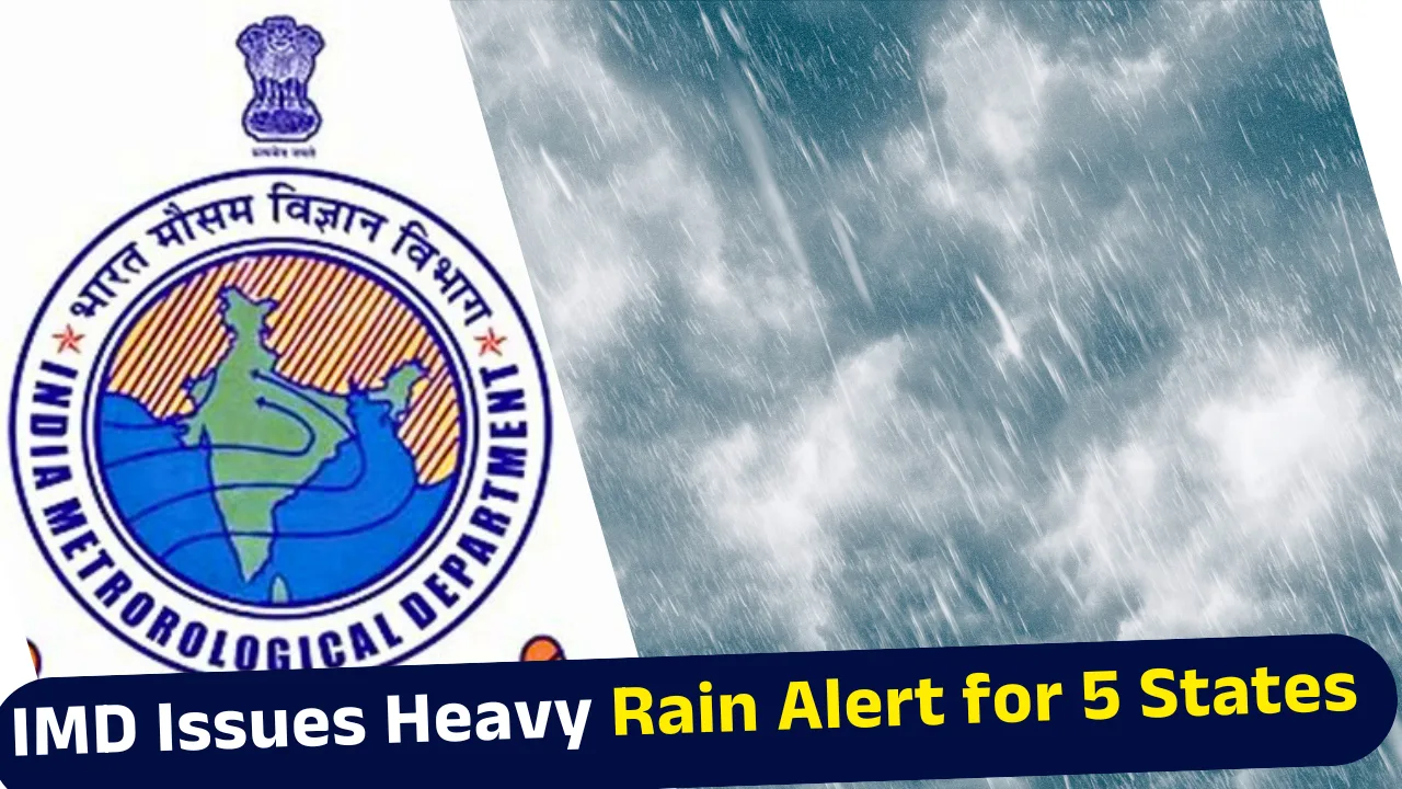
IMD Issues Heavy Rain Alert for 5 States Till October 28: The India Meteorological Department (IMD) has recently issued another weather warning and has raised the alert level for five states due to the expected heavy rains and thunderstorms during the next three days. The period from October 26 to October 28 will see the southern and eastern regions of the country experiencing intense rains, strong winds, and thunder, because of a low-pressure area developing over the Bay of Bengal.
While the southern peninsula is getting ready for the rains, Delhi along with its neighboring areas is witnessing nice, sunny weather with no rain promised. This sharp regional contrast is a clear indication of India’s monsoon tail still packing a punch in some areas while others remain untouched.
The reoccurrence of rain can be attributed to a cyclonic circulation that is positioned over the southeast Bay of Bengal and the Andaman Sea. Although the southwest monsoon has officially left most of the country, the clouds are still active in certain areas due to residual moisture and changes in wind patterns.
For the farmers in the states impacted by the rains, the timing is a mixed blessing, good for the preparation of winter crops but bad if floods occur. Meanwhile, the urban population is getting ready for the wet season by buying umbrellas and checking the drainage systems to reduce the inconvenience of waterlogged streets.
Key points related to IMD Issues Heavy Rain Alert:-
- States Under Alert: Odisha, Coastal Andhra Pradesh, Telangana, and Karnataka will receive very heavy rain till October 28 and Chhattisgarh will get heavy rain.
- Weather Details: Expect thunderstorms, lightning, and winds of up to 40 km/h mainly in the southern region.
- Delhi Forecast: There will be no rainfall in Delhi until at least October 28; temperatures will range from 18°C to 34°C with clear to partly cloudy skies.
- Local Impact: Schools in South India may be closed today due to the low-pressure area which is likely to intensify into a depression.
- Safety Tips: The IMD advises people to stay inside during thunderstorms and keep on syncing with real-time updates.
What’s the Update in the Five States?
Odisha is expected to suffer the most. The coastal areas, including Bhubaneswar and Puri, are predicted to get more than 100 mm of rain in just one day, which might lead to flash floods in the low-ground areas. The state has already put disaster response teams in standby.
On the south side, continuous rain through the weekend is a possibility for Coastal Andhra Pradesh and Yanam. Thunder and unexpected rain could be witnessed in Visakhapatnam and Vijayawada, morning commutes may become difficult. Besides, the sea is off-limits for fishermen as the winds are getting stronger.
Rainfall in Telangana along with Hyderabad will be very heavy by afternoon today. October rainfall is nothing new to the city, but it might cause traffic jams and power outages if the drainage systems fail again.

Karnataka has a divided fable as the coast, especially the area of Mangalore and Udupi, will witness a very stormy Friday while heavy rains may fall tonight in the interior districts of Hubballi and Belagavi. Bengaluru is not subjected to the worst-case scenario but waterlogging could still occur in the outskirts.
Chhattisgarh provides the last with light to moderate rain in Raipur, Bilaspur, and Durg. Outdoor workers can still be warned about exposure to lightning even though the southern states are not as severe.
The Andaman and Nicobar Islands are also part of the situation, as the light to moderate rainfall and wind conditions are likely to last for a week. The nearby states of Tamil Nadu and Kerala are in for some scattered thunderstorms, albeit not on the scale of the five major ones, over the coming days.
Delhi: A Calm and Clear Weekend Ahead
If you happen to be in Delhi, consider yourself fortunate. The IMD has given the national capital a clean chit for the next four days: no rain, no clouds, only sunny weather and mild winds. Today’s lowest temperature is about 18°C, with the mercury rising to 32–34°C in the afternoon. The humidity is decreasing, which is making it feel refreshing and pleasant.
The city has gone into pre-winter mode after a small shower at the beginning of this month. The air quality remains moderate with a slow wind clearing the smog and keeping the AQI around 150. It is the best time to be outdoors either for an early morning stroll in Lodhi Garden or going for that long-awaited picnic.

However, weather patterns can be quite fickle. If the system over the Bay of Bengal moves northward, Delhi might have a different forecast. For the time being, though, the capital is an oasis of calm in the midst of the national downpour.
Ripple Effects: Schools, Travel, and More
The majority of the school districts in Karnataka, Andhra Pradesh, and Telangana announced today to stay off classes for children due to thunderstorms. The parents, however, are relieved, while some are already trying to cope with their work-from-home arrangements.
Hyderabad and Visakhapatnam airports have given warnings for the possible delays of flights. The trains passing through Odisha and Andhra Pradesh are being monitored very closely to make sure there is no water on the tracks.

The less serious side of the situation is that the reservoirs in Karnataka and Telangana are filling up at a faster rate than anticipated, which is a blessing for the summer water supply. The farmers planting pulses and oilseeds are quite optimistic that the moisture in the soil will help their crops grow nicely right from the start.
IMD’s Advice: Stay Prepared, Stay Updated
The weather department is leaving no stone unturned. “Avoid travel during heavy rain, especially in rural areas,” said an IMD spokesperson. “Lightning can strike without warning, stay away from open fields and tall objects.”
The ‘Mausam’ app and IMD website are updating forecasts every few hours. Local authorities are clearing drains, pruning trees, and setting up control rooms in high-risk districts.
Monsoon Ends Strong
This year, the monsoon came to an end with a bang, showing up with 106% of the normal rainfall for the entire country. However, these post-monsoon bursts are becoming more frequent due to warming oceans and changing climate patterns. La Niña, which is the cooling of Pacific waters, is also influencing the Bay of Bengal’s activity positively.

For residents of Delhi, the next event of concern is Diwali fireworks, sweets, and family gatherings outside. In the southern part of the country, people are hoping that the rain will stop before the festival rush starts.
India’s weather is an extreme case, and this week is no exception. Five states flooded, one city scorched, keep watching, keep safe.
True Devotion Can Calm the Storms of the World
The changing climate, floods, and heatwaves are not mere natural coincidences, they are signs that humanity has drifted away from righteousness. These turbulent times remind us that the balance between man and nature can only be restored through spiritual purity and divine intervention.
According to the spiritual knowledge shared by Sant Rampal Ji Maharaj, the Chyren (Messenger) of God alone has the supreme authority and power to regulate nature’s forces. When people walk the path of true devotion shown by such a Divine Saint, even destructive storms lose their fury and seasons return to harmony.
Through His Annapurna Muhim (mission) Sant Rampal Ji Maharaj has already shown how compassion and spiritual awakening can heal society, feeding the hungry, rescuing flood victims and spreading peace beyond boundaries. He serves humanity selflessly, proving that devotion isn’t limited to prayers but extends to action that uplifts all.
As India faces both floods and droughts, the message is clear: only by surrendering to the true Saint’s guidance and living a life of truth, kindness, and devotion can humanity restore balance, both within and in the world around us. To know more about Sant Rampal Ji Maharaj’s Annapurna Muhim please visit His YouTube channel.
FAQs related to IMD Issues Heavy Rain Alert
1. Which states are under IMD’s heavy rain alert till October 28, 2025?
Ans. The IMD has issued a heavy rain and thunderstorm alert for Odisha, Andhra Pradesh, Telangana, Karnataka, and Chhattisgarh till October 28, due to a low-pressure system developing over the Bay of Bengal.
2. What weather conditions are expected in Delhi this week?
Ans. Delhi will experience dry and sunny weather with temperatures ranging between 18°C and 34°C until at least October 28. No rainfall is predicted, and air quality is expected to stay moderate.
3. What is causing heavy rain in southern and eastern India?
Ans. The heavy rainfall is being triggered by a low-pressure area over the Bay of Bengal, supported by cyclonic circulation and residual monsoon moisture, which are creating intense thunderstorms and strong winds.
4. How will the heavy rain affect farmers and urban areas?
Ans. For farmers, the rain may help winter crop preparation, but excessive downpours could cause flooding and crop damage. Urban areas are likely to face traffic disruptions, waterlogging, and flight delays due to intense showers.
5. What safety measures has the IMD recommended for citizens?
Ans. The IMD advises people to stay indoors during thunderstorms, avoid open fields and tall trees, and follow real-time weather updates on the ‘Mausam’ app or the IMD website to ensure safety.